Filter by
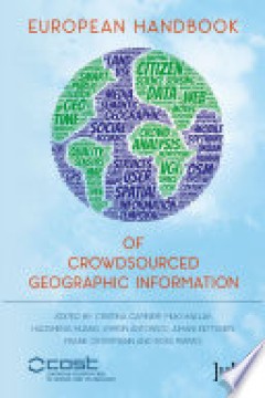
European handbook of crowdsourced geographic information
"This book focuses on the study of the remarkable new source of geographic information that has become available in the form of user-generated content accessible over the Internet through mobile and Web applications. The exploitation, integration and application of these sources, termed volunteered geographic information (VGI) or crowdsourced geographic information (CGI), offer scientists an un…
- Edition
- 13
- ISBN/ISSN
- 9781909188808
- Collation
- -
- Series Title
- -
- Call Number
- 910.285 HUA e
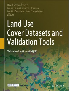
Land Use Cover Datasets and Validation Tools
This open access book represents a comprehensive review of available land-use cover data and techniques to validate and analyze this type of spatial information. The book provides the basic theory needed to understand the progress of LUCC mapping/modeling validation practice. It makes accessible to any interested user most of the research community's methods and techniques to validate LUC maps …
- Edition
- 1
- ISBN/ISSN
- 9783030909987
- Collation
- xiv; 462p; ill
- Series Title
- -
- Call Number
- 333.7313 LAN D
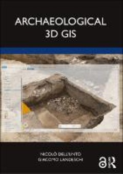
Archaeological 3d GIS
Archaeological 3D GIS provides archaeologists with a guide to explore and understand the unprecedented opportunities for collecting, visualising, and analysing archaeological datasets in three dimensions. With platforms allowing archaeologists to link, query, and analyse in a virtual, georeferenced space information collected by different specialists, the book highlights how it is possible to r…
- Edition
- -
- ISBN/ISSN
- 9781003034131
- Collation
- XXI, 154 p.
- Series Title
- -
- Call Number
- 930.1028 DEL a

Geographical indications at the crossroads of trade, development, and culture…
Historically, few topics have proven to be so controversial in international intellectual property as the protection of geographical indications (GIs). The adoption of TRIPS in 1994 did not resolve disagreements, and countries worldwide continue to quarrel today as to the nature, the scope, and the enforcement of GI protection nationally and internationally. Thus far, however, there is little l…
- Edition
- -
- ISBN/ISSN
- 9781316711002
- Collation
- xx, 550p : ill.
- Series Title
- -
- Call Number
- 382.3 GEO g

Reading the country: 30 years on
Philip Morrissey and Chris Healy (eds).
- Edition
- -
- ISBN/ISSN
- 9780648124283
- Collation
- 1 online resource (284 pages)
- Series Title
- CSR books
- Call Number
- -
Responding to the west: essays on colonial domination and Asian agency
The nine essays of this volume, spanning from the eighteenth to mid-twentieth century, highlight the workings of, and reactions to, colonial domination in Asian contexts. The scholars, which include Victoria Haskins of the University of Newscastle, use a range of social science history methods to explore new paths to colonial history. How were individuals, groups, and social categories able to …
- Edition
- -
- ISBN/ISSN
- 9789048508204
- Collation
- 181 p. : ill., map ; 24 cm.
- Series Title
- ICAS publication series. 5
- Call Number
- 325.3095 RES r

Maritime spatial planning : past, present, future
Maritime or marine spatial planning has gained increasing prominence as an integrated, common-sense approach to promoting sustainable maritime development. A growing number of countries are engaged in preparing and implementing maritime spatial plans: however, questions are emerging from the growing body of MSP experience. How can maritime spatial planning deal with a complex and dynamic enviro…
- Edition
- -
- ISBN/ISSN
- 9783319986968
- Collation
- xxxvii, 477p. : ill.
- Series Title
- -
- Call Number
- 333.9164 MAR m
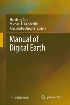
Manual of digital earth
This open access book offers a summary of the development of Digital Earth over the past twenty years. By reviewing the initial vision of Digital Earth, the evolution of that vision, the relevant key technologies, and the role of Digital Earth in helping people respond to global challenges, this publication reveals how and why Digital Earth is becoming vital for acquiring, processing, analysing…
- Edition
- -
- ISBN/ISSN
- 9789813299153
- Collation
- xix, 852p. : ill.
- Series Title
- -
- Call Number
- 910.285 MAN m

Landscape biographies : geographical, historical and archaeological perspecti…
Landscape Biographies explores the long, complex histories of landscapes from personal and social perspectives. Twenty geographers, archaeologists, historians, and anthropologists investigate the diverse ways in which landscapes and monuments have been constructed, transmitted, and transformed from prehistory to the present, from Manhattan to Shanghai, Iceland to Portugal, England to Estonia.
- Edition
- -
- ISBN/ISSN
- 9789089644725
- Collation
- 437p. : ill.
- Series Title
- -
- Call Number
- 304.2 LAN l

Islamic area studies with geographical information systems
In this volume the contributors use Geographical Information Systems (GIS) to reassess both historic and contemporary Asian countries and traditionally Islamic areas. This highly illustrated and comprehensive work highlights how GIS can be applied to the social sciences. With its description of how to process, construct and manage geographical data the book is ideal for the non-specialist looki…
- Edition
- -
- ISBN/ISSN
- 9780203401422
- Collation
- xxvi, 283p. : ill.
- Series Title
- -
- Call Number
- 910.91767 ISL i
 Computer Science, Information & General Works
  Philosophy & Psychology
  Religion
  Social Sciences
  Language
  Pure Science
  Applied Sciences
  Art & Recreation
  Literature
  History & Geography