Filter by

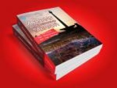
Ancaman bawah permukaan jakarta: tak terlihat, tak terpikirkan, dan tak terduga
Kondisi lingkungan bawah permukaan, sejauh ini, belum menjadi bahan pertimbangan bila terjadi sesuatu permasalahan dipermukaan, seperti banjir, amblesan, atau perubahan kualitas air di suatu daerah. Sangat sulit untuk mengubah paradigma 'out of sight, out of mind' menjadi paradigma yang mengikutsertakan faktor yang tidak terlihat. Begitu juga yang terjadi di Cekungan Jakarta, semua permasalahan…
- Edition
- -
- ISBN/ISSN
- 9789797998431
- Collation
- x, 303 p.; 14,8 x 21cm
- Series Title
- Ancaman bawah permukaan jakarta: tak terlihat, tak terpikirkan, dan tak terduga
- Call Number
- 551.49

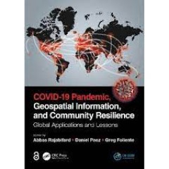
Covid-19 Pandemic, geospatial information, and community resilience: global a…
Geospatial information plays an important role in managing location dependent pandemic situations across different communities and domains. Geospatial information and technologies are particularly critical to strengthening urban and rural resilience, where economic, agricultural, and various social sectors all intersect. Examining the United Nations' SDGs from a geospatial lens will ensure that…
- Edition
- -
- ISBN/ISSN
- 9781003181590
- Collation
- xxvi, 532p.: ill.
- Series Title
- -
- Call Number
- 614.4 COV c

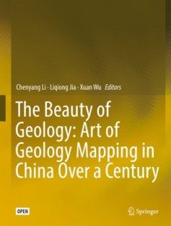
The beauty of geology: art of geology mapping in China over a century
This open access book contains a collection of rare geologic maps and figures made by Chinese geologists in the last century. Preserved in National Geological Archives of China, these artworks demonstrate the development and innovation of geological mapping technology in China in the past 100 years. The collections are highly scientific and artistic, with most of the hand-drawn maps featured wi…
- Edition
- -
- ISBN/ISSN
- 9789811337864
- Collation
- ix, 119p. : ill.
- Series Title
- -
- Call Number
- 551 BEU b
 Computer Science, Information & General Works
  Philosophy & Psychology
  Religion
  Social Sciences
  Language
  Pure Science
  Applied Sciences
  Art & Recreation
  Literature
  History & Geography