Filter by

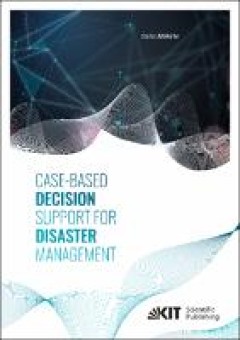
Case-based decision support for disaster management
Disasters are characterized by severe disruptions of the society’s functionality and adverse impacts on humans, the environment, and economy that cannot be coped with by society using its own resources. This work presents a decision support method that identifies appropriate measures for protecting the public in the course of a nuclear accident. The method particularly considers the issue of …
- Edition
- -
- ISBN/ISSN
- 9783731509929
- Collation
- xvii, 295 p.; ill
- Series Title
- -
- Call Number
- 658.47 MOH c

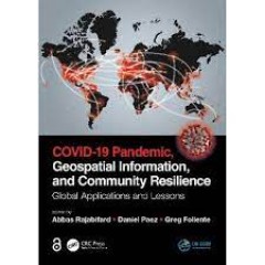
Covid-19 Pandemic, geospatial information, and community resilience: global a…
Geospatial information plays an important role in managing location dependent pandemic situations across different communities and domains. Geospatial information and technologies are particularly critical to strengthening urban and rural resilience, where economic, agricultural, and various social sectors all intersect. Examining the United Nations' SDGs from a geospatial lens will ensure that…
- Edition
- -
- ISBN/ISSN
- 9781003181590
- Collation
- xxvi, 532p.: ill.
- Series Title
- -
- Call Number
- 614.4 COV c
 Computer Science, Information & General Works
  Philosophy & Psychology
  Religion
  Social Sciences
  Language
  Pure Science
  Applied Sciences
  Art & Recreation
  Literature
  History & Geography